Project Details
Website Design
Visual Design
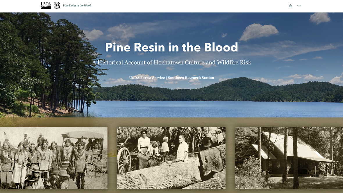
Pine Resin in the Blood: A Historical Account of Hochatown Culture and Wildfire Risk is an interactive story map/webpage that uses maps and visuals to tell an educational story. Story maps are a great way to share technical information in a rich, interactive, and visual way. This story map was created and hosted with the web app ArcGIS for the USDA Forest Service Southern Research Station.
The design brief for this project was to create an educational experience that took the viewer through the native and settler history of the area leading up to the current wildfire risks in the area. We worked with the mapping tools in ArcGIS, importing shape files and creating custom maps. Historical photos, custom figures, and modern-day mapping combines to create a rich visual and interactive experience. This story map is planned to be the first in the series about wildfire risk in the area around Hochatown, Oklahoma.


